Geography
Geography

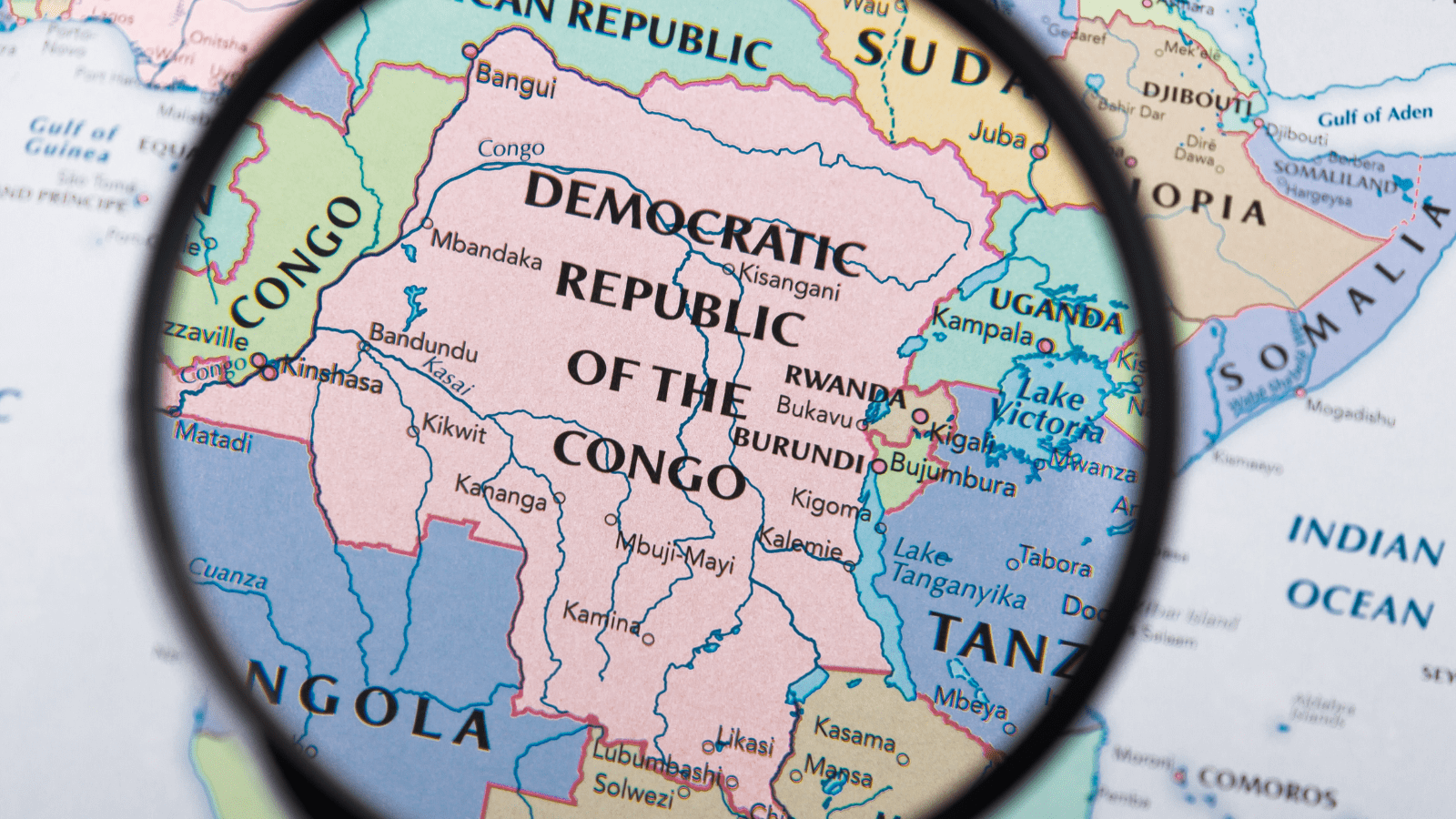
The Democratic Republic of the Congo is a vast state territory located in the heart of Africa. With a surface area of 2,345,410 Km² extending from 5°30’ north latitude to 13°50’ south latitude and from 12°15’ to 31°15’ longitude, it is counted among the giants of Africa. In this respect, it is sometimes described, to truly reflect the vastness of its territory, as “a subcontinent” or “a continent within a continent”.
After the recent break-up of Sudan into two countries, the Democratic Republic of the Congo is now the second largest African country in terms of territorial area, just after Algeria. A small comparison to get a better idea of the size of the Congolese territory: the surface area of the Democratic Republic of the Congo is four times that of France, eighty times that of Belgium and a quarter of that of the entire European Union.
If it were in Latin America, it would be in third place after Brazil and Argentina. It would be in the same position if it were in Asia, behind China and India (Russia aside).
Because of the vastness of this national territory, it takes at least two hours by plane flight to cross from North to South or from East to West the Democratic Republic of the Congo, ranked 12th in the world in terms of surface area.
The country is crossed by two time zones, with a difference of one hour between the eastern and western parts.
The capital, Kinshasa, located on the banks of the majestic Congo River, is sometimes in the same time zone as Brussels and Paris.
The Democratic Republic of the Congo shares 9,165 km of common border with 9 neighboring countries, which constitutes a considerable asset on several levels, including investment. It is indeed bordered:
in the North, by the Central African Republic and Sudan
in the South, by Zambia and Angola
in the East, by Uganda, Rwanda, Burundi and Tanzania
to the West, by the Republic of Congo
The country has a narrow maritime opening: the Atlantic coastline, a coastal strip no more than 50 km from where the mouth of the Congo River stretches.

